info@surebound.co.uk
Topographical Surveys
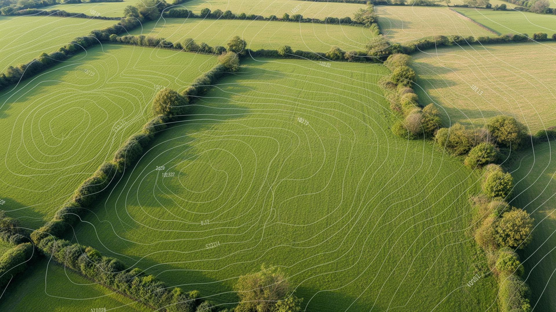
A topographical survey gives architects, engineers, and developers an accurate base for design and planning by precisely capturing the levels, features, and boundaries of a site.
Our drawings are produced to industry standards and delivered in CAD-ready formats suitable for planning applications and design development.
- Full site survey using GPS and total station equipment
- Levels, contours, and spot heights captured to high accuracy
- Buildings, trees, utilities, and site features recorded
- Drawings supplied in DWG, PDF, and 3D formats on request
- Suitable for planning, design, and construction use